
The EHC – Enwau Hanesyddol Cymru or Historic Names of Wales – database is a collection of early records of Welsh names compiled at the University of Wales Centre for Advanced Welsh and Celtic Studies. It contains some 12,000 early spellings of 4,000 towns, villages, hamlets and farms – the principal historic settlements of Wales, as listed in Melville Richards, Welsh Administrative and Territorial Units (1968).
The database aims to capture the earliest records of our settlements, with a particular accent on documentation from the medieval period (when, for instance, the great majority of the country’s thousand historic parishes are first recorded). It draws its spellings partly from original research, but mostly from the range of published research in this field, e.g. H. W. Owen, The Place-Names of East Flintshire (1994), B. G. Charles, The Place-Names of Pembrokeshire (1992), R. Morgan, A Study of Radnorshire Place-Names (1998). A fundamental tool in tracking down early forms is the Archif Melville Richards place-name database [http://www.e-gymraeg.co.uk/enwaulleoedd/amr/], hosted at Bangor University. Richard Morgan has also contributed a good deal of previously unpublished material.
Spellings from EHC will gradually be incorporated, as they are checked and validated, to the List of Historic Place Names of Wales during the first year after launch.
In November 2014, as a result of a successful grant application to the Heritage Lottery Fund, ARCW (the Archives and Records Council Wales) and the National Library of Wales launched the Cynefin project.
The focus of this project was to conserve and digitise the tithe maps of Wales, to make these available online, and then to use online volunteers to georeference the tithe maps and transcribe related records within the accompanying tithe index documents.
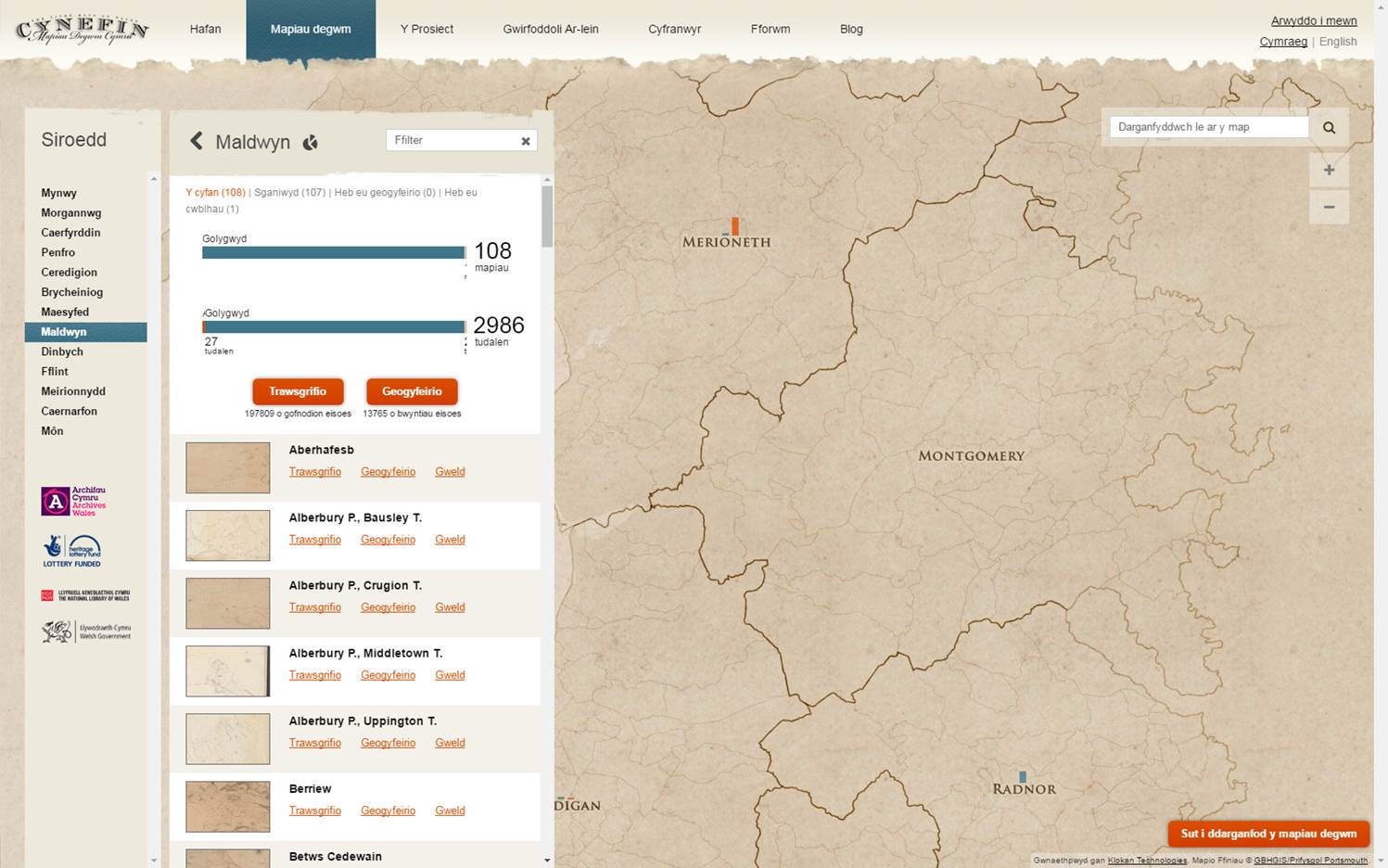
What are Tithe Maps? Tithes were payments charged on land users. Originally, payments were made using commodities like crops, wool, milk and stock. Tithe maps were produced between 1838 and 1850 to ensure that all tithes were paid with money rather than produce.
These are the most detailed maps of their period and they cover more than 95% of Wales. The index documents for each map list the payable tithes, the names of the landowners and land occupiers, the land use, and in most cases (75%) the field names.
Around 198,000 field names generated by the online volunteers of the Cynefin project have been included in the List of Historic Place Names of Wales at launch, about 65% of the total number of field names that will eventually be loaded into the List as a result of the Cynefin project. We hope to add these remaining 100,000 names to the List by July 2017.
To learn more about the Cynefin project, click here.

In 2013 the Royal Commission on the Ancient and Historical Monuments of Wales, The National Library of Wales, University of Wales and the People’s Collection Wales launched a new website which aimed to harness the power of volunteers to record all the place-names of Wales as they appeared on Ordnance Survey maps at the end of the Victorian period.
Cymru1900Wales.org was a ground-breaking collaborative project, that asked visitors to the website to study historic mapping of Wales, published by the Ordnance Survey between 1899 and 1908, and to record and geolocate all the text shown on the maps; the names of towns, villages, woods, farms, rivers, springs, mansions etc.
In time the Cymru1900Wales.org website volunteers transcribed around 294,000 records from the Ordnance Survey’s 2nd Edition County Series 6-inch/mile mapping of Wales. The success of the methodology developed by the Cymru1900 project partners was further confirmed with the subsequent expansion of both the partnership and website in 2016. With the involvement of new partners, the University of Portsmouth and the National Library of Scotland, the platfrom has been further developed and evolved into the highly successful GB1900.org website.
Approximately 125,000 records from the Cymru1900 project have been included in the List of Historic Place Names of Wales at launch (a lot of the original data included non-place name text, used by the OS to depict features such footpaths, quarries, springs etc), and these provide a fantastically even geographical coverage of Wales, ensuring no matter where in Wales you are searching, there will be place names recorded as they appeared when published on Ordnance Survey mapping at the start of the 20th century.
To learn more about the GB1900 project, click here.