Our Data Sources: The Cynefin Project
- Posted in:
- data
- crowdsourcing
- sources
- place names
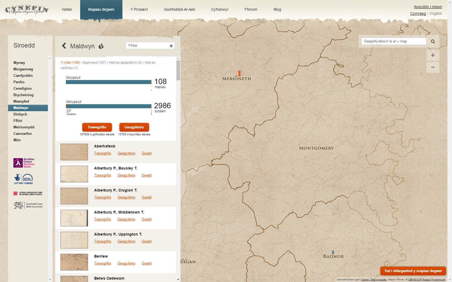
In November 2014, as a result of a successful grant application to the Heritage Lottery Fund, ARCW (the Archives and Records Council Wales) and the National Library of Wales launched the Cynefin project.
The focus of this project was to conserve and digitise the tithe maps of Wales, to make these available online, and then to use online volunteers to georeference the tithe maps and transcribe related records within the accompanying tithe index documents.
What are Tithe Maps? Tithes were payments charged on land users. Originally, payments were made using commodities like crops, wool, milk and stock. Tithe maps were produced between 1838 and 1850 to ensure that all tithes were paid with money rather than produce.
These are the most detailed maps of their period and they cover more than 95% of Wales. The index documents for each map list the payable tithes, the names of the landowners and land occupiers, the land use, and in most cases (75%) the field names.
Around 198,000 field names generated by the online volunteers of the Cynefin project have been included in the List of Historic Place Names of Wales at launch, about 65% of the total number of field names that will eventually be loaded into the List as a result of the Cynefin project. We hope to add these remaining 100,000 names to the List by July 2017.
If you want to view or submit comments you must accept the cookie consent.